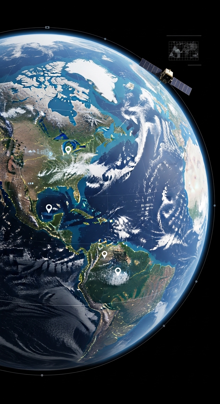
- GIS & Remote Sensing
GIS (Geographic Information Systems) and Remote Sensing technologies play a key role in understanding spatial data and monitoring changes on the Earth’s surface. At GEN_II, we use advanced GIS platforms, satellite imagery, and spatial analysis tools to provide accurate data-driven solutions.
Our GIS and remote sensing services help governments, researchers, and organizations analyze geographic information, monitor environmental changes, and support better planning and decision making.
- Accurate spatial data for planning and development
- Better monitoring of environmental and land changes
- Improved decision making using geospatial intelligence
- Advanced mapping and visualization capabilities.
- Our GIS & Remote Sensing Services
Spatial Data Analysis
Processing and analyzing geographic data to generate accurate maps and insights.
Satellite Image Processing
Using satellite imagery to monitor land use, environmental changes, and natural resources.
Land Use & Land Cover Mapping
Mapping and classification of land areas for agriculture, urban planning, and environmental management.
Change Detection & Monitoring
Analyzing satellite data over time to detect environmental and land changes.