- Land administration
Land administration is a critical component of sustainable development, urban planning, and resource management. At GEN_II, we provide modern geospatial and mapping solutions to support accurate land management, property registration, and land use planning.
Our services help governments, organizations, and planning authorities manage land resources efficiently through advanced GIS technologies, satellite data, and digital mapping systems.
We focus on creating reliable spatial databases, land ownership records, and mapping platforms that improve transparency, reduce disputes, and support better decision-making in land management.
- Accurate land ownership records
- Better land resource management
- Reduced land disputes
- Improved planning and development
- Our Land Administration Services
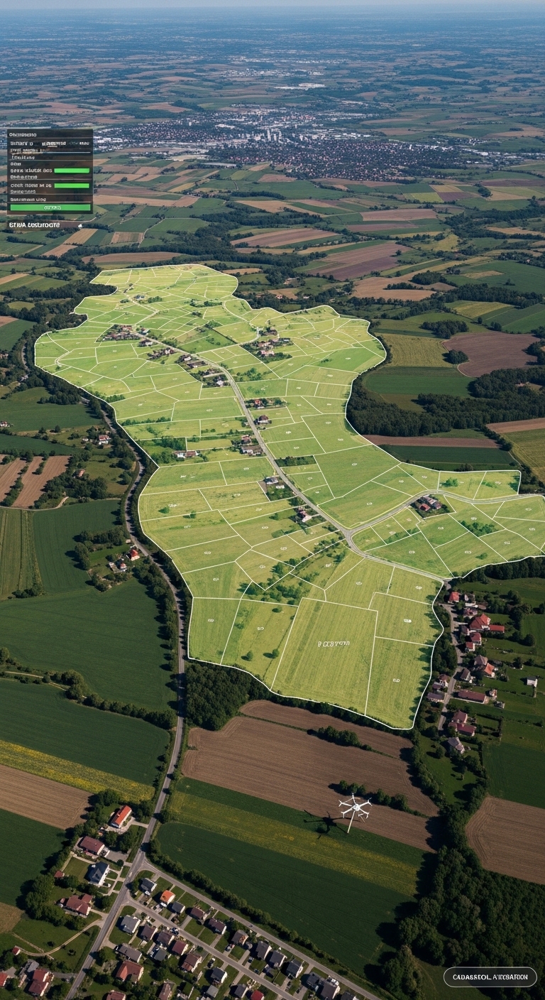
Cadastral Mapping
Accurate mapping of land parcels, boundaries, and ownership records using GIS technology.
Land Information Systems
Development of digital land records and geospatial databases for efficient land management.
Boundary & Survey Mapping
Precise land surveys and mapping for property boundaries and infrastructure planning.
Land Use Planning
Spatial analysis and mapping to support urban planning, zoning, and land development.