- Topographic Mapping
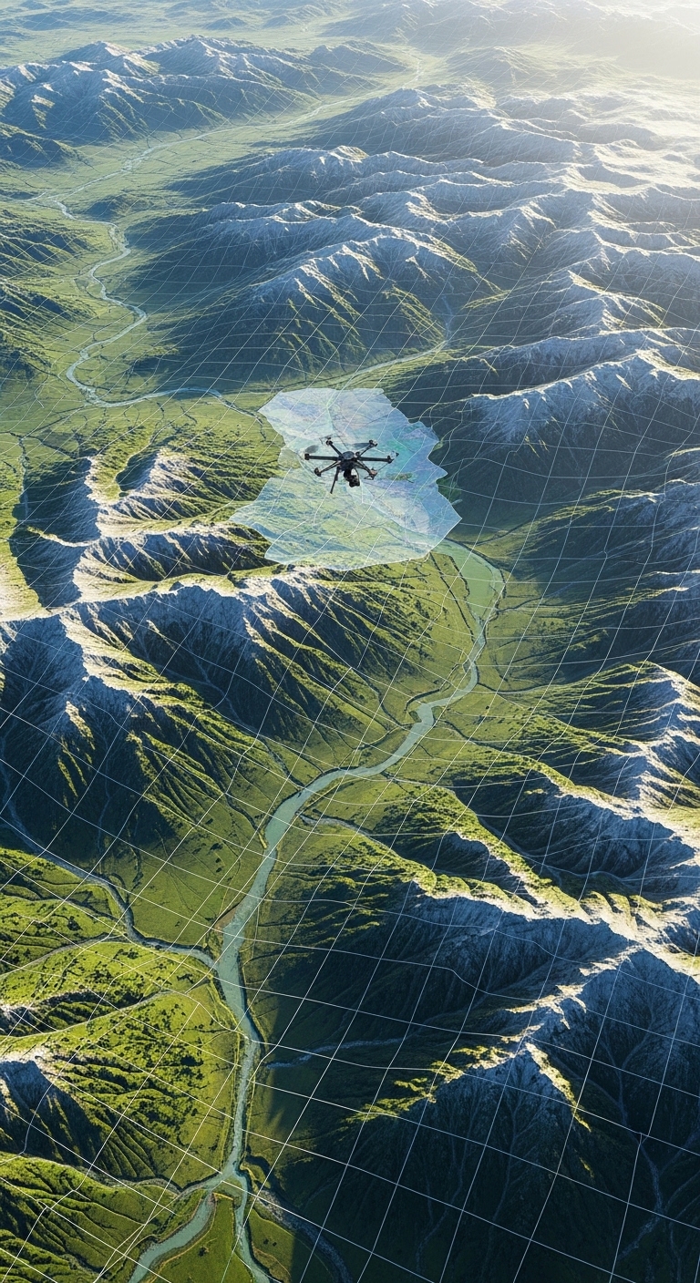
Topographic mapping is a powerful technique used to represent the natural and man-made features of the Earth’s surface in detail. It shows elevation, terrain shape, rivers, roads, forests, and buildings using contour lines, symbols, and geographic data. These maps help planners, engineers, researchers, and environmental experts understand land structure and terrain conditions.
Using advanced GIS technology, satellite imagery, and drone surveys, we create highly accurate topographic maps that support better planning and decision-making. Our mapping solutions provide precise elevation models and detailed terrain analysis that can be used for infrastructure development, land management, environmental monitoring, and construction projects.
- High-precision elevation and terrain mapping
- Integration of satellite, drone, and GIS data
- Detailed contour lines and land feature visualization
- Urban and infrastructure planning
- Environmental and land management
- Engineering and construction projects