- Satellite Image Analysis
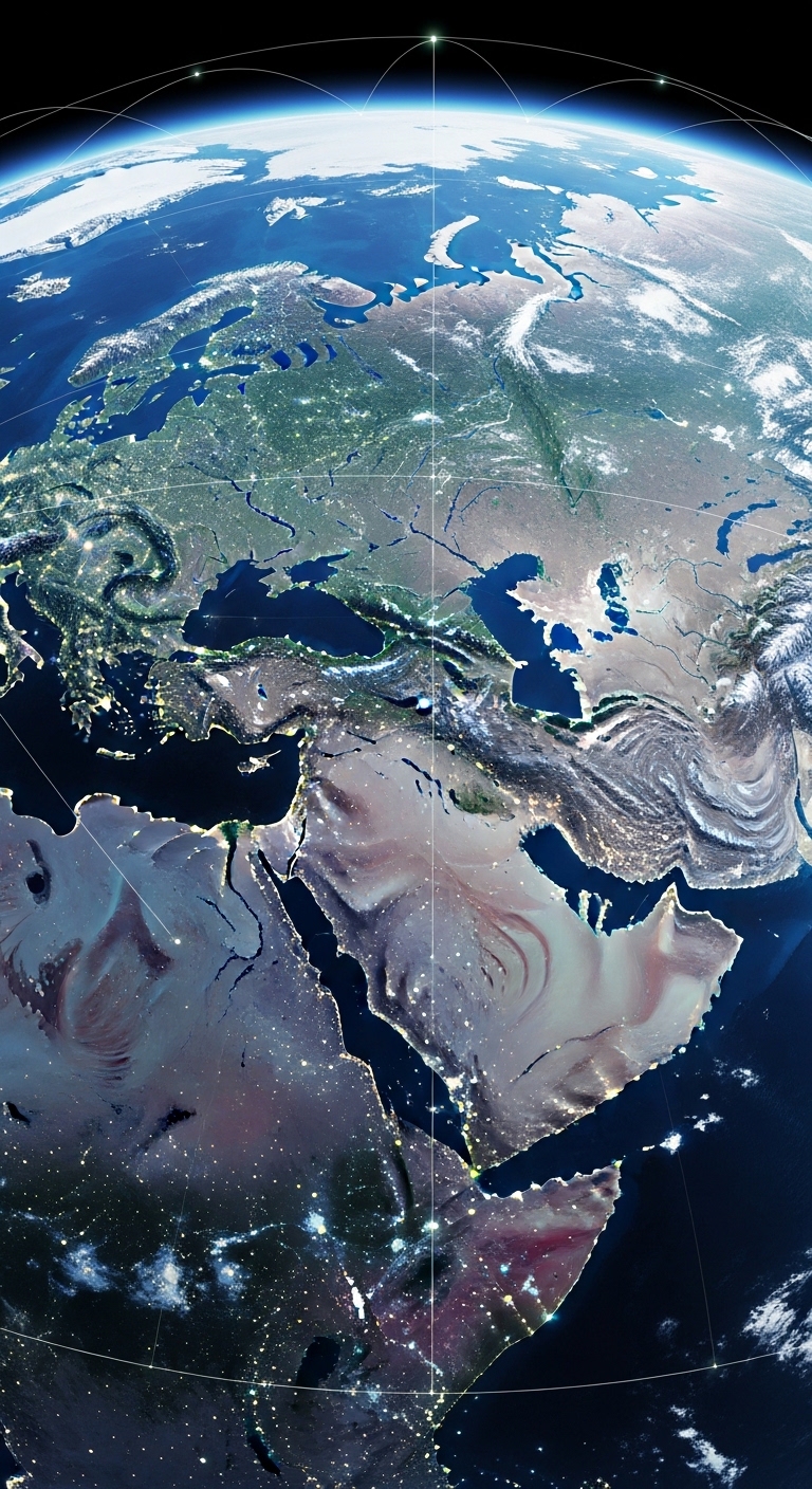
Satellite image analysis enables the extraction of valuable information from Earth observation data for applications in urban planning, agriculture, environment, and disaster management. At GEN_II, we provide advanced satellite image analysis solutions that leverage GIS, AI, and remote sensing technologies to monitor, analyze, and visualize spatial data with high accuracy.
Our solutions are applied in land use mapping, crop monitoring, environmental assessment, disaster prediction, and infrastructure planning to improve decision-making, efficiency, and sustainability.
- Accurate and timely monitoring of land, environment, and resources
- Improved planning for agriculture, urban development, and infrastructure
- Early detection of environmental risks and disasters
- Data-driven decision-making for sustainable and resilient management
- Enhanced visualization and analysis of spatial and geospatial data
- Our Satellite Image Analysis Services
Land Use & Land Cover Mapping
Analyze satellite imagery to classify land use, track changes over time, and support urban and environmental planning.
Agricultural Monitoring
Monitor crop health, vegetation patterns, soil moisture, and irrigation efficiency using multispectral and hyperspectral imagery.
Environmental & Climate Monitoring
Detect environmental changes, deforestation, water body levels, and climate trends using satellite data.
Disaster & Risk Assessment
Analyze satellite images to identify hazard-prone areas, monitor flood, wildfire, and storm impacts, and support emergency response.
Geospatial Data Integration & Analytics
Combine satellite imagery with GIS data, IoT sensor data, and AI analytics to generate actionable insights for decision-making.